
Welcome
A community led group that is exploring ways that the River Nith catchment is recognised as a vital asset in local sustainability planning. By combining environmental action, education, culture and community engagement, Nith Life aims to strengthen care for the River Nith as a living system that supports biodiversity, wellbeing and a sustainable local future.
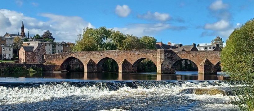
Devorgilla bridge over The Nith in Dumfries
Nith Life Objectives
Projects
Citizen science activities
Culture, art & heritage
Wildlife & biodiversity monitoring
Organisational networking
Community consultations
Addressing climate change
Future Public Meetings
See The Whats on page and our Facebook page for details
10th November Tide Watchers – Waders of the River Nith and estuary.
24th November The Pollution Paradox: Chemicals, Waste and the Price of Progress.
Break for Christmas
26th January – Talk at The Bridge, Dumfries DG2 9AW
23rd February – Talk – Details to be confirmed
All photos on this site are taken within the Nith catchment and are owned by Nith Life.
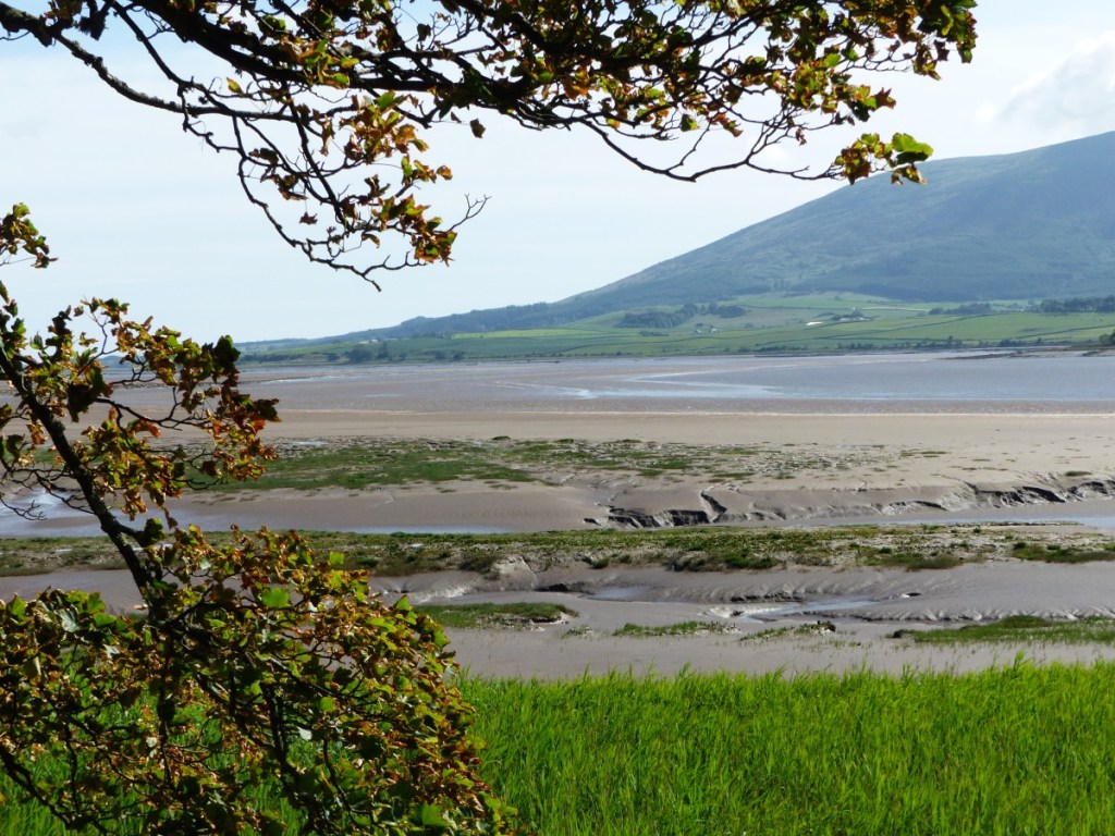
Looking across Nith estuary to Criffel

Swans on Knockshinoch Lagoon New Cumnock

Upper Nith looking towards Queensberry